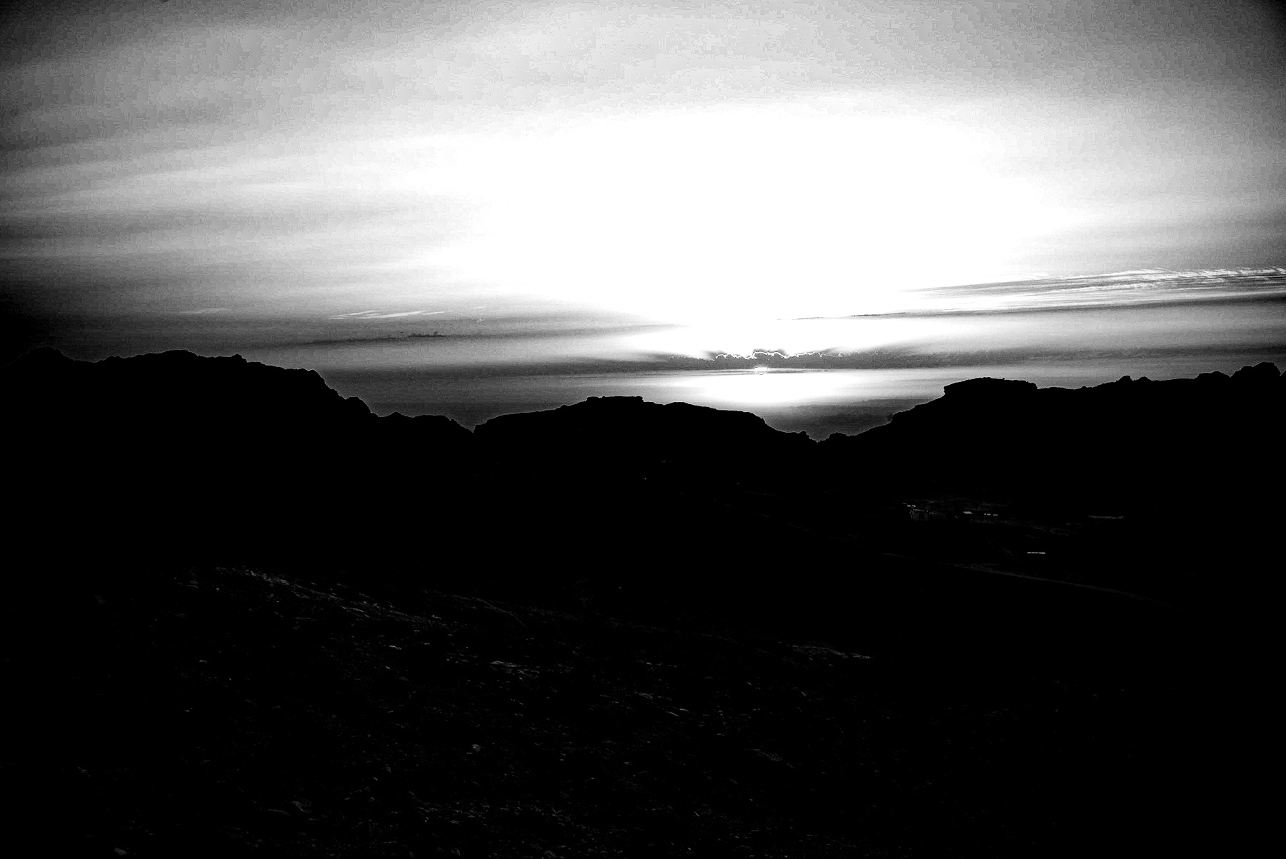
The provided high-contrast, black-and-white photograph captures a dramatic and stark landscape defined by light and shadow. In the foreground and midground, deep black silhouettes of rugged mountain ridges dominate the frame. The sharp, uneven contours of the rocky terrain suggest an arid, mountainous environment, characteristic of the desert canyons found in the Middle East and the southern Levant. Above these dark peaks, a bright, luminous sky is filled with horizontal bands of clouds. The sun, positioned low on the horizon, creates a powerful backlighting effect, casting the valley into deep shadow while illuminating the sky in stark contrast. This composition evokes a sense of timelessness, isolation, and ancient mystery.
**The Historical Context: The Nabataean Kingdom and Petra**
Landscapes like the one depicted in this image have played crucial roles in human history, particularly in the ancient Near East. This rugged topography is highly characteristic of the region of Edom, located in modern-day Jordan. Between the 4th century BCE and the 2nd century CE, this inhospitable terrain was the heartland of the Nabataean Kingdom.
The Nabataeans established their capital, Petra, amidst towering sandstone cliffs very similar to the formations silhouetted in the photograph. Rather than viewing the harsh, mountainous terrain as a barrier, the Nabataeans utilized the geography to their advantage. The deep canyons and narrow gorges, known as *siqs*, served as natural fortifications, making the city virtually impregnable to foreign invaders for centuries.
**Engineering in the Desert**
To survive in this arid environment, the Nabataeans became masters of water engineering. They carved complex networks of aqueducts, dams, cisterns, and reservoirs directly into the solid rock faces. This sophisticated system allowed them to collect and store flash-flood water, securing a constant water supply for a population of tens of thousands of people and enabling agriculture in the middle of the desert. The dark, silent valleys seen in the image once bustled with innovative hydrological activity that allowed a major civilization to flourish where survival seemed impossible.
**The Strategic Importance of Desert Passes**
Beyond agricultural survival, these mountainous desert regions held immense geopolitical and economic value. The hidden passes and valleys nestled between these ridges were vital corridors for the ancient Incense Route. This network of trade routes connected southern Arabia with the Mediterranean ports, facilitating the transport of highly valuable luxury goods, such as frankincense, myrrh, spices, and silk.
By controlling these mountain passes, the Nabataeans secured vast wealth through taxation and protection fees. The strategic significance of this landscape eventually drew the attention of the Roman Empire, which annexed the kingdom in 106 CE, integrating these trade routes into the broader imperial network.
**A Timeless Visual Legacy**
Today, these ancient mountain ranges remain largely unchanged, preserving the physical context of past civilizations. The monochrome aesthetic of the photograph emphasizes the enduring, permanent nature of the stone against the fleeting light of the sun. It serves as a visual reminder that beneath these silent, dark silhouettes lie centuries of human ingenuity, trade, and empire-building that shaped the course of ancient history.
Schreibe einen Kommentar