The interplay of light, water, and earth has long captured the human imagination, particularly in regions where geography and history are deeply intertwined. This high-contrast, black-and-white photograph captures a dramatic coastline that strongly evokes the stark, timeless landscape of the Dead Sea and the Jordan Rift Valley. Through its dramatic tonal range, the image invites viewers to contemplate both the physical beauty and the profound historical significance of this unique geographical depression.
Captured in Contrast: A Visual Analysis of the Landscape
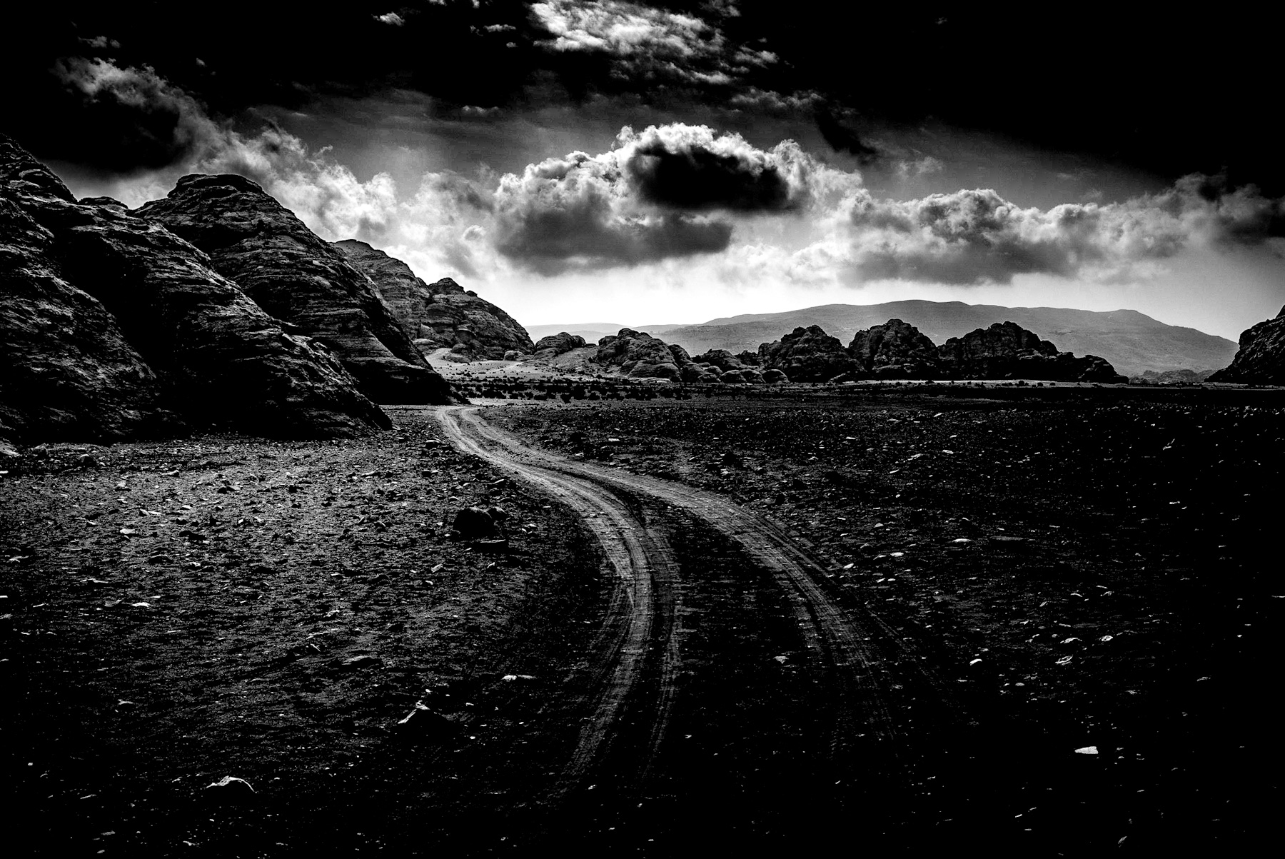
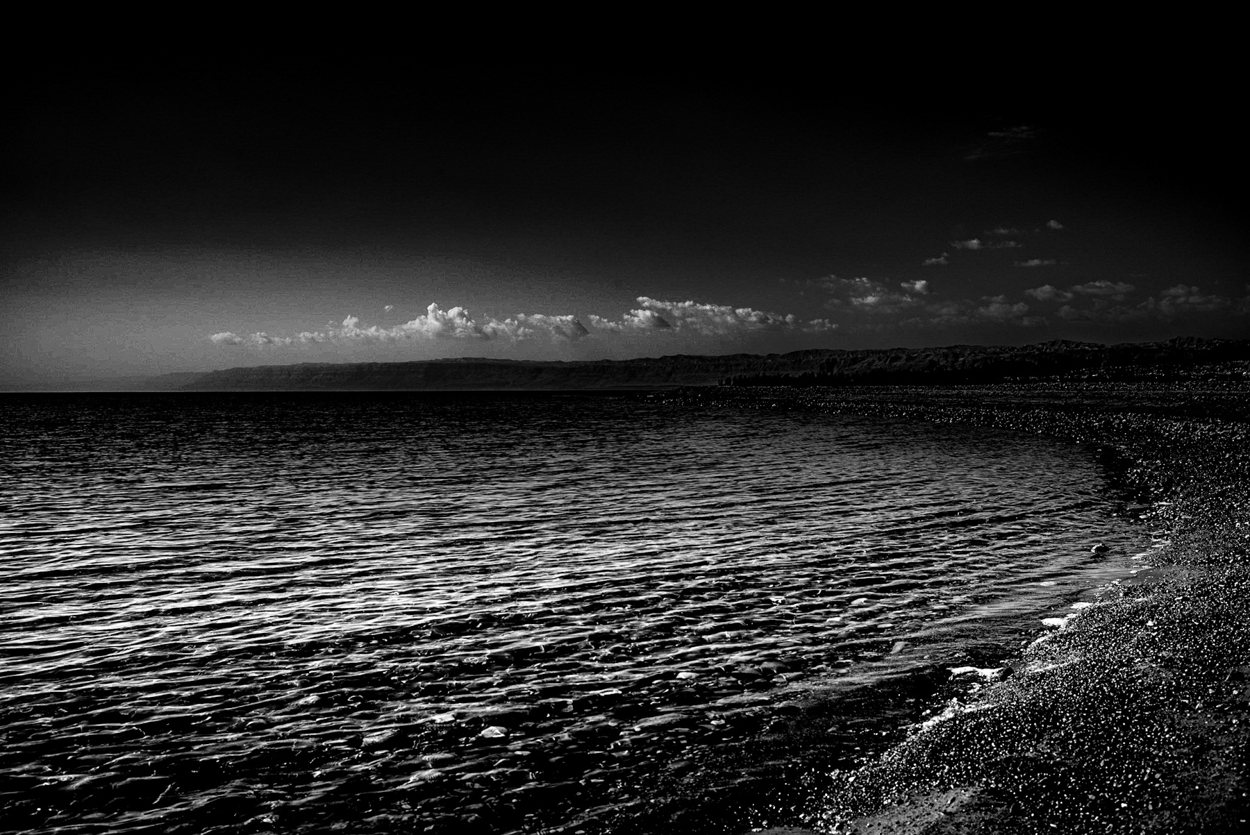
The photograph utilizes a monochrome palette to emphasize texture and form over color. In the foreground, a dark, pebbly shoreline curves gently toward the right side of the frame. The stones on the beach appear wet, catching the light and creating a shimmering effect that contrasts with the deep shadows.
The body of water dominates the lower-left quadrant, its surface marked by fine, rhythmic ripples that capture the ambient light. In the distance, a low mountain range stretches across the horizon, partially obscured by a thin, horizontal band of cumulus clouds. The sky above is exceptionally dark, creating a heavy, almost atmospheric pressure that focuses the viewer’s eye on the bright line of clouds and the reflective surface of the water below. This stark contrast highlights the isolation and barren beauty characteristic of the region.
The Jordan Rift Valley: A Cradle of History and Culture
The landscape depicted in the image is synonymous with the Jordan Rift Valley, a geologically active region that has served as a backdrop for human history for millennia. The Dead Sea, situated at the lowest point on the Earth’s surface (approximately 430 meters below sea level), holds immense historical and cultural significance for multiple global civilizations.
Biblical and Ancient History
For thousands of years, this region has been a focal point of historical narratives. In biblical accounts, the area surrounding the Dead Sea is associated with the cities of Sodom and Gomorrah, as well as the desert refuges of King David. During the Greco-Roman period, the area was highly valued for its unique natural resources. King Herod the Great built several fortresses nearby, including Masada, which stands on a plateau overlooking the Dead Sea.
Economic and Scientific Significance in Antiquity
In antiquity, the Dead Sea was a valuable source of asphalt (bitumen), which was exported to ancient Egypt for mummification processes. Additionally, the unique chemical composition of the water, rich in salt and minerals, made it a center for early chemical industry and wellness, drawing visitors from across the Mediterranean basin seeking therapeutic treatments.
Geological Marvel and Modern Environmental Challenges
From a geological perspective, the landscape is a result of the tectonic movement between the African and Arabian plates. The high evaporation rate in this hyper-arid environment, combined with the lack of an outlet, has resulted in a water body with a salinity level nearly ten times that of the ocean. This extreme environment prevents the survival of macroscopic aquatic organisms, earning it the name „Dead Sea.“
Today, this historic landscape faces significant environmental challenges. The water level of the Dead Sea is receding at an alarming rate of over one meter per year, primarily due to the diversion of water from the Jordan River for agricultural and domestic use upstream. The shrinking coastline serves as a stark reminder of the delicate balance between human development and the preservation of historic natural wonders.
Conclusion: A Timeless Testament to Earth’s History
The monochrome photograph serves as a powerful visual metaphor for the enduring nature of the Jordan Rift Valley. While the political and environmental landscapes of the region continue to shift, the fundamental elements—the salt-encrusted shores, the reflective waters, and the barren mountains—remain as silent witnesses to thousands of years of human history.
Captured in Contrast: A Visual Analysis of the Landscape
The photograph utilizes a monochrome palette to emphasize texture and form over color. In the foreground, a dark, pebbly shoreline curves gently toward the right side of the frame. The stones on the beach appear wet, catching the light and creating a shimmering effect that contrasts with the deep shadows.
The body of water dominates the lower-left quadrant, its surface marked by fine, rhythmic ripples that capture the ambient light. In the distance, a low mountain range stretches across the horizon, partially obscured by a thin, horizontal band of cumulus clouds. The sky above is exceptionally dark, creating a heavy, almost atmospheric pressure that focuses the viewer’s eye on the bright line of clouds and the reflective surface of the water below. This stark contrast highlights the isolation and barren beauty characteristic of the region.
The Jordan Rift Valley: A Cradle of History and Culture
The landscape depicted in the image is synonymous with the Jordan Rift Valley, a geologically active region that has served as a backdrop for human history for millennia. The Dead Sea, situated at the lowest point on the Earth’s surface (approximately 430 meters below sea level), holds immense historical and cultural significance for multiple global civilizations.
Biblical and Ancient History
For thousands of years, this region has been a focal point of historical narratives. In biblical accounts, the area surrounding the Dead Sea is associated with the cities of Sodom and Gomorrah, as well as the desert refuges of King David. During the Greco-Roman period, the area was highly valued for its unique natural resources. King Herod the Great built several fortresses nearby, including Masada, which stands on a plateau overlooking the Dead Sea.
Economic and Scientific Significance in Antiquity
In antiquity, the Dead Sea was a valuable source of asphalt (bitumen), which was exported to ancient Egypt for mummification processes. Additionally, the unique chemical composition of the water, rich in salt and minerals, made it a center for early chemical industry and wellness, drawing visitors from across the Mediterranean basin seeking therapeutic treatments.
Geological Marvel and Modern Environmental Challenges
From a geological perspective, the landscape is a result of the tectonic movement between the African and Arabian plates. The high evaporation rate in this hyper-arid environment, combined with the lack of an outlet, has resulted in a water body with a salinity level nearly ten times that of the ocean. This extreme environment prevents the survival of macroscopic aquatic organisms, earning it the name „Dead Sea.“
Today, this historic landscape faces significant environmental challenges. The water level of the Dead Sea is receding at an alarming rate of over one meter per year, primarily due to the diversion of water from the Jordan River for agricultural and domestic use upstream. The shrinking coastline serves as a stark reminder of the delicate balance between human development and the preservation of historic natural wonders.
Conclusion: A Timeless Testament to Earth’s History
The monochrome photograph serves as a powerful visual metaphor for the enduring nature of the Jordan Rift Valley. While the political and environmental landscapes of the region continue to shift, the fundamental elements—the salt-encrusted shores, the reflective waters, and the barren mountains—remain as silent witnesses to thousands of years of human history.