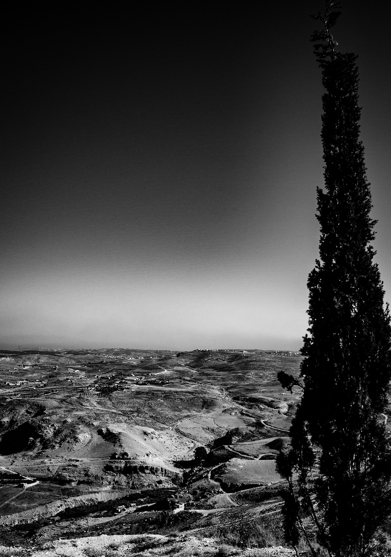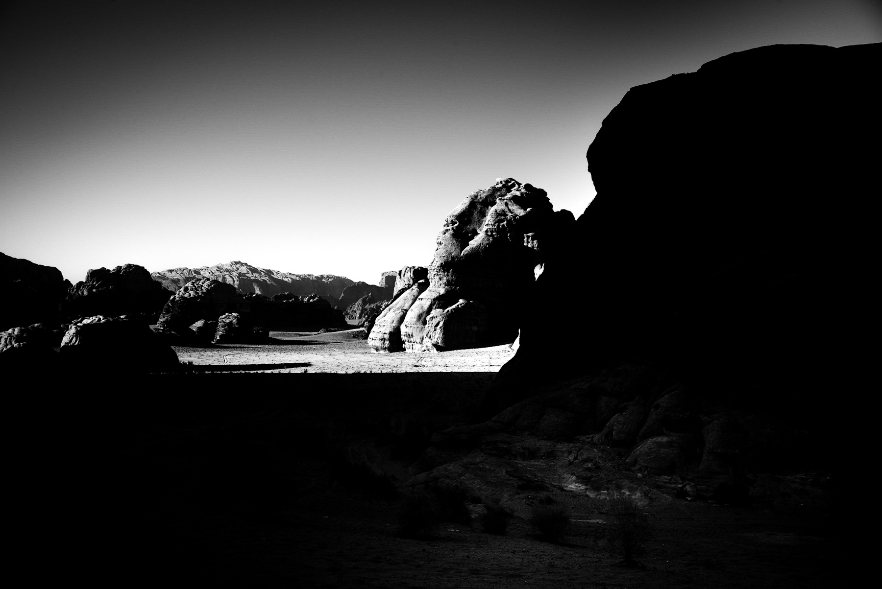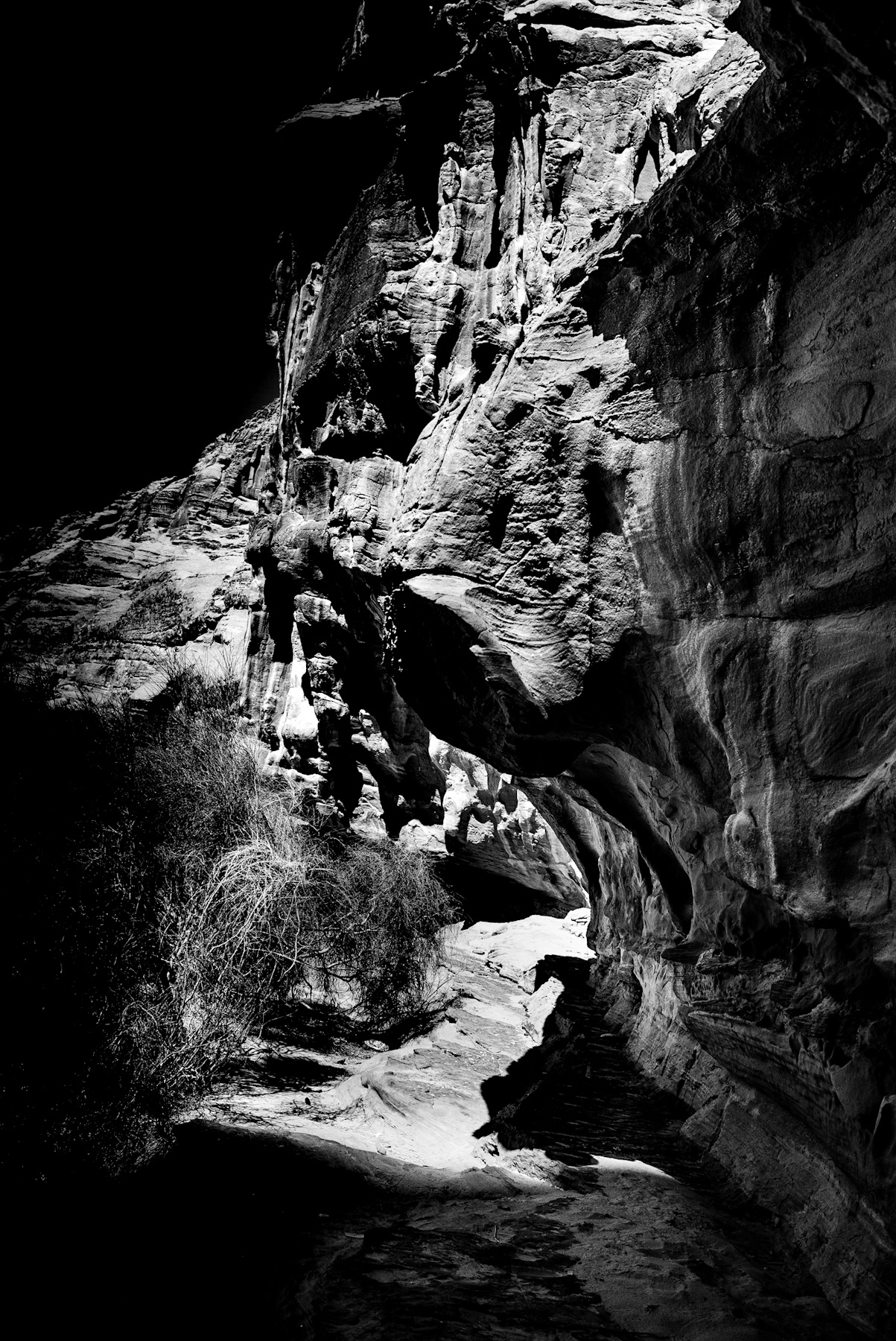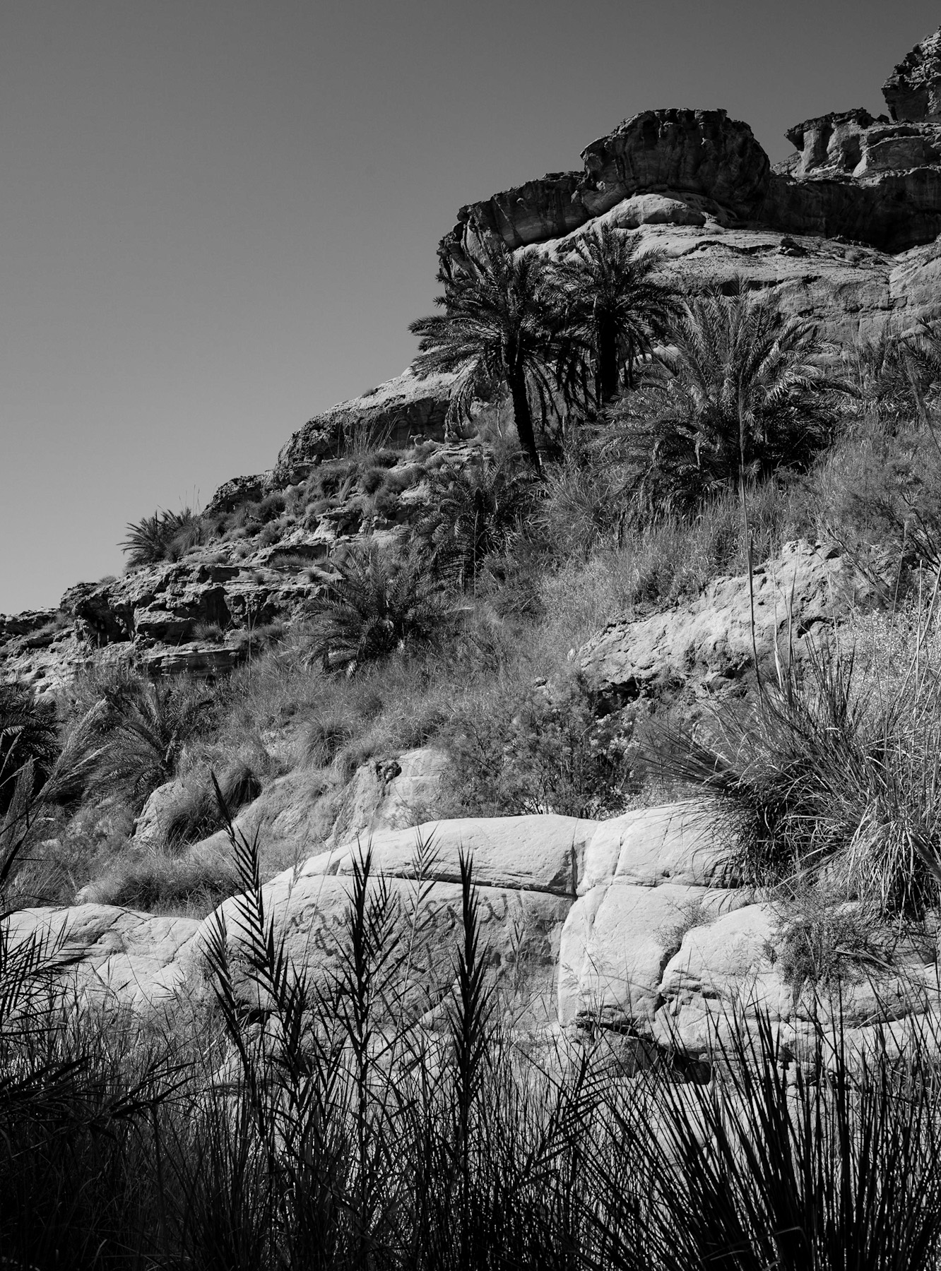
The stark beauty of arid landscapes has captivated observers for centuries. In the featured black-and-white photograph, a rugged hillside reveals a complex ecosystem where life persists despite harsh environmental conditions. This image serves as a visual testament to the resilience of nature and highlights the historical importance of oases in arid regions.
Unveiling the Arid Ecosystem: A Visual Dive
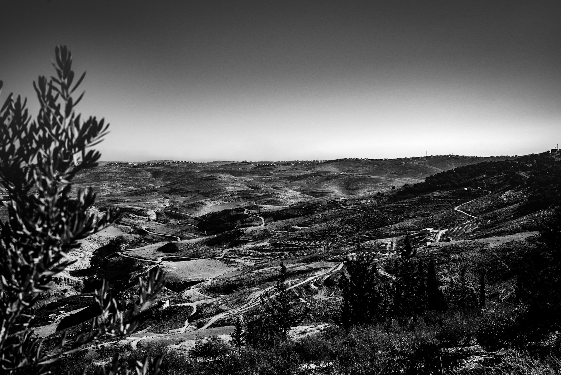
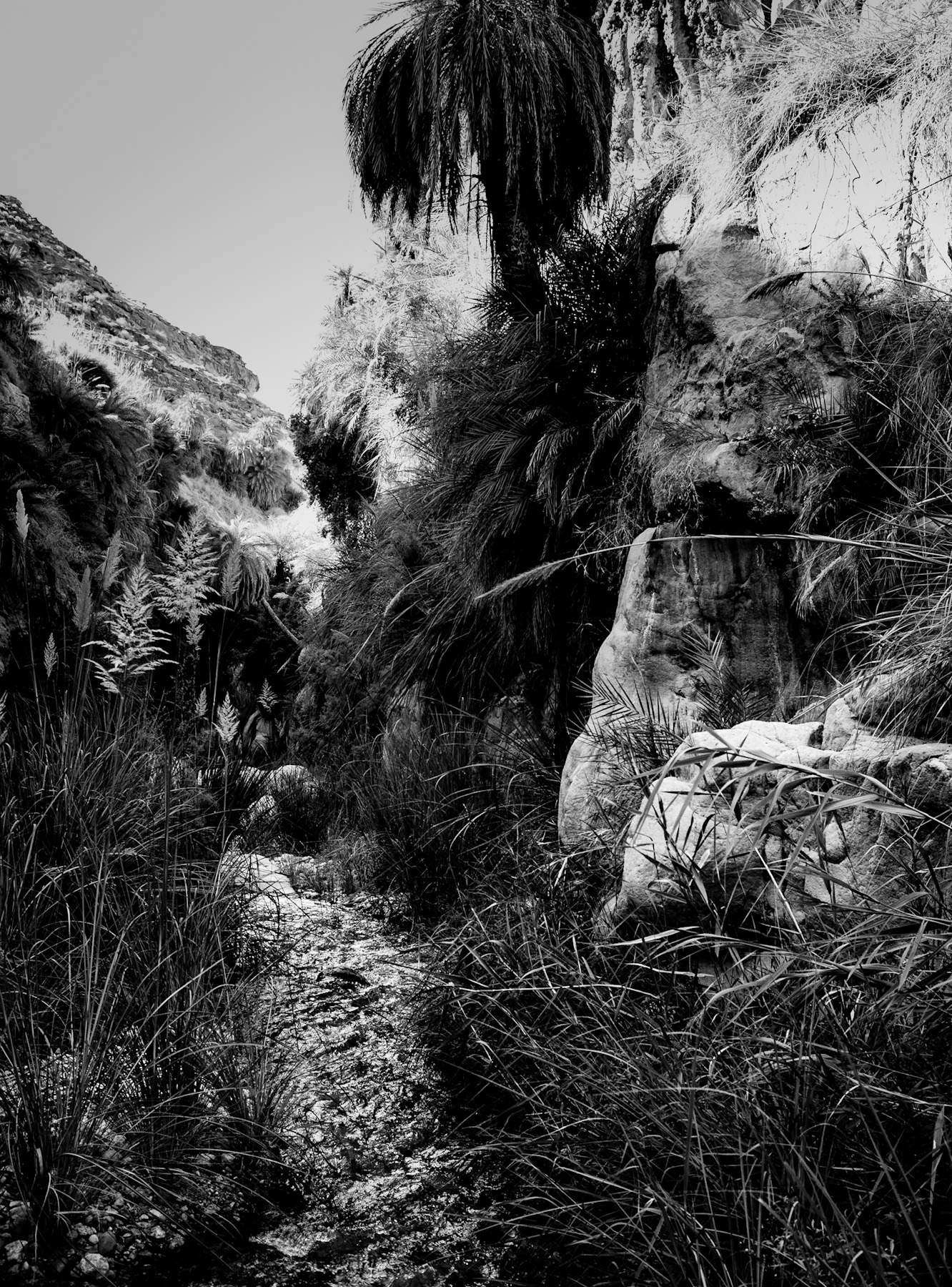
The photograph presents a layered composition of a rocky slope under a clear sky. In the foreground, tall, slender reeds and grasses emerge from what appears to be a moisture-rich ground level. Moving up the hillside, the vegetation transitions to clusters of date palms (Phoenix dactylifera) and low-lying shrubs. These plants cling to the steep, rocky terrain.
The geological structure is characterized by heavily weathered, stratified rock formations at the crest of the hill. The masterful use of black-and-white photography brilliantly emphasizes the textures of the stone, the sharp contrasts between light and shadow, and the organic forms of the vegetation against the geometric lines of the cliffs. It’s a visual narrative of survival.
Oases and Wadis: Lifelines Through History
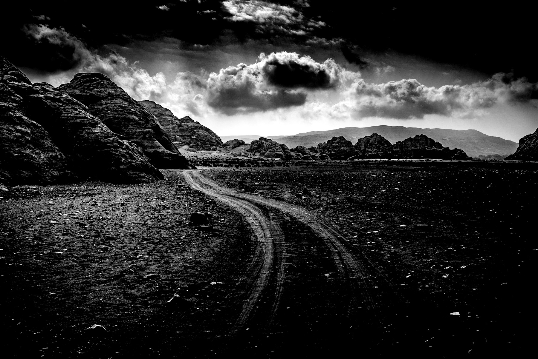
Geographical features like the one pictured—often referred to as wadis or oases—have played a truly critical role in human history, particularly across the Middle East and North Africa. In these hyper-arid environments, such pockets of water and vegetation were not just important; they were absolutely essential for survival.
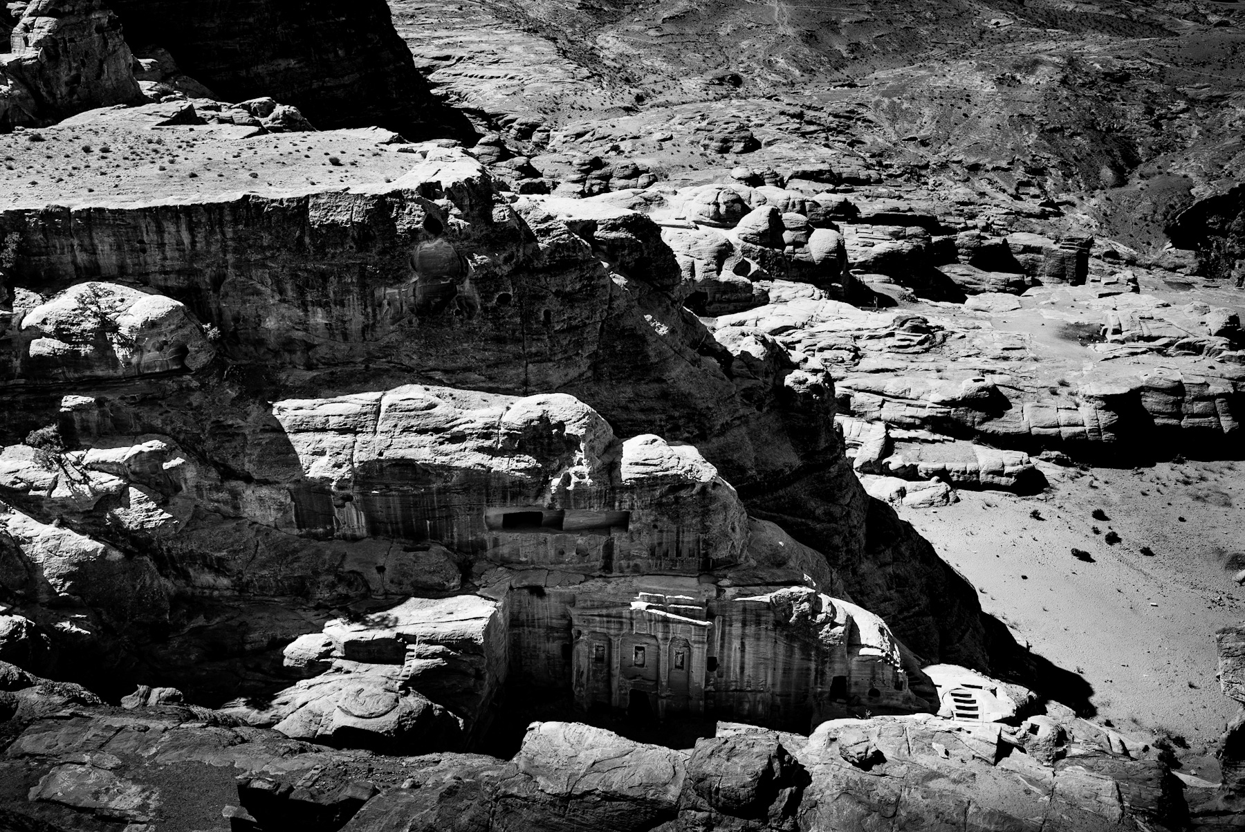
Historically, oases served as vital hubs along ancient trade routes, famously including the Silk Road and the Incense Route. Caravans transporting invaluable goods like frankincense, myrrh, spices, and silk relied on these water sources to rest, replenish supplies, and prepare for the next leg of their arduous journeys. Without these natural stopovers, trans-desert trade, and the cultural exchange it fostered, would have been impossible.
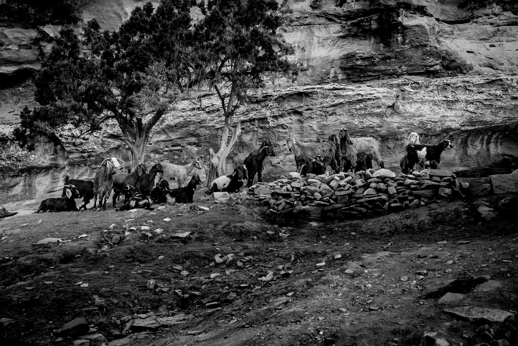
Moreover, these sites were the cradles of early agricultural practices. Ancient civilizations, including the ingenious Nabataeans and various resilient Bedouin tribes, developed sophisticated water management systems, such as intricate channels and robust cisterns, to harness the intermittent water flow in wadis. This allowed for the cultivation of staple crops like date palms, which not only provided food but also shelter and crucial materials for construction.
The Science of Survival: Geological Mechanisms and Ecological Resilience
The very presence of vibrant vegetation on an otherwise barren hillside is a fascinating result of specific geological processes at play. Sandstone and limestone formations, clearly visible in the upper portion of the image, are inherently porous. This allows them to absorb precious rainwater during those rare, life-giving precipitation events.
This absorbed water then filters downward through the rock layers until it reaches an impermeable layer. At this point, it is forced to emerge as vital springs or seepages along the hillside. This natural irrigation system is the backbone supporting the growth of deep-rooted plants like date palms, which can tap into deep groundwater reserves, and the reeds that thrive in the perpetually wetter soil at the base of the slope. It’s a perfect example of nature’s ingenious engineering.
A Timeless Legacy
The photograph captures more than just a scenic landscape; it documents a timeless ecological phenomenon that has profoundly shaped human history. By understanding the intricate geological and historical context of these arid ecosystems, observers can gain a deeper appreciation for the truly vital role that oases have played—and continue to play—in connecting cultures and sustaining life across the centuries.
Unveiling the Arid Ecosystem: A Visual Dive
The photograph presents a layered composition of a rocky slope under a clear sky. In the foreground, tall, slender reeds and grasses emerge from what appears to be a moisture-rich ground level. Moving up the hillside, the vegetation transitions to clusters of date palms (Phoenix dactylifera) and low-lying shrubs. These plants cling to the steep, rocky terrain.
The geological structure is characterized by heavily weathered, stratified rock formations at the crest of the hill. The masterful use of black-and-white photography brilliantly emphasizes the textures of the stone, the sharp contrasts between light and shadow, and the organic forms of the vegetation against the geometric lines of the cliffs. It’s a visual narrative of survival.
Oases and Wadis: Lifelines Through History
Geographical features like the one pictured—often referred to as wadis or oases—have played a truly critical role in human history, particularly across the Middle East and North Africa. In these hyper-arid environments, such pockets of water and vegetation were not just important; they were absolutely essential for survival.
Historically, oases served as vital hubs along ancient trade routes, famously including the Silk Road and the Incense Route. Caravans transporting invaluable goods like frankincense, myrrh, spices, and silk relied on these water sources to rest, replenish supplies, and prepare for the next leg of their arduous journeys. Without these natural stopovers, trans-desert trade, and the cultural exchange it fostered, would have been impossible.
Moreover, these sites were the cradles of early agricultural practices. Ancient civilizations, including the ingenious Nabataeans and various resilient Bedouin tribes, developed sophisticated water management systems, such as intricate channels and robust cisterns, to harness the intermittent water flow in wadis. This allowed for the cultivation of staple crops like date palms, which not only provided food but also shelter and crucial materials for construction.
The Science of Survival: Geological Mechanisms and Ecological Resilience
The very presence of vibrant vegetation on an otherwise barren hillside is a fascinating result of specific geological processes at play. Sandstone and limestone formations, clearly visible in the upper portion of the image, are inherently porous. This allows them to absorb precious rainwater during those rare, life-giving precipitation events.
This absorbed water then filters downward through the rock layers until it reaches an impermeable layer. At this point, it is forced to emerge as vital springs or seepages along the hillside. This natural irrigation system is the backbone supporting the growth of deep-rooted plants like date palms, which can tap into deep groundwater reserves, and the reeds that thrive in the perpetually wetter soil at the base of the slope. It’s a perfect example of nature’s ingenious engineering.
A Timeless Legacy
The photograph captures more than just a scenic landscape; it documents a timeless ecological phenomenon that has profoundly shaped human history. By understanding the intricate geological and historical context of these arid ecosystems, observers can gain a deeper appreciation for the truly vital role that oases have played—and continue to play—in connecting cultures and sustaining life across the centuries.