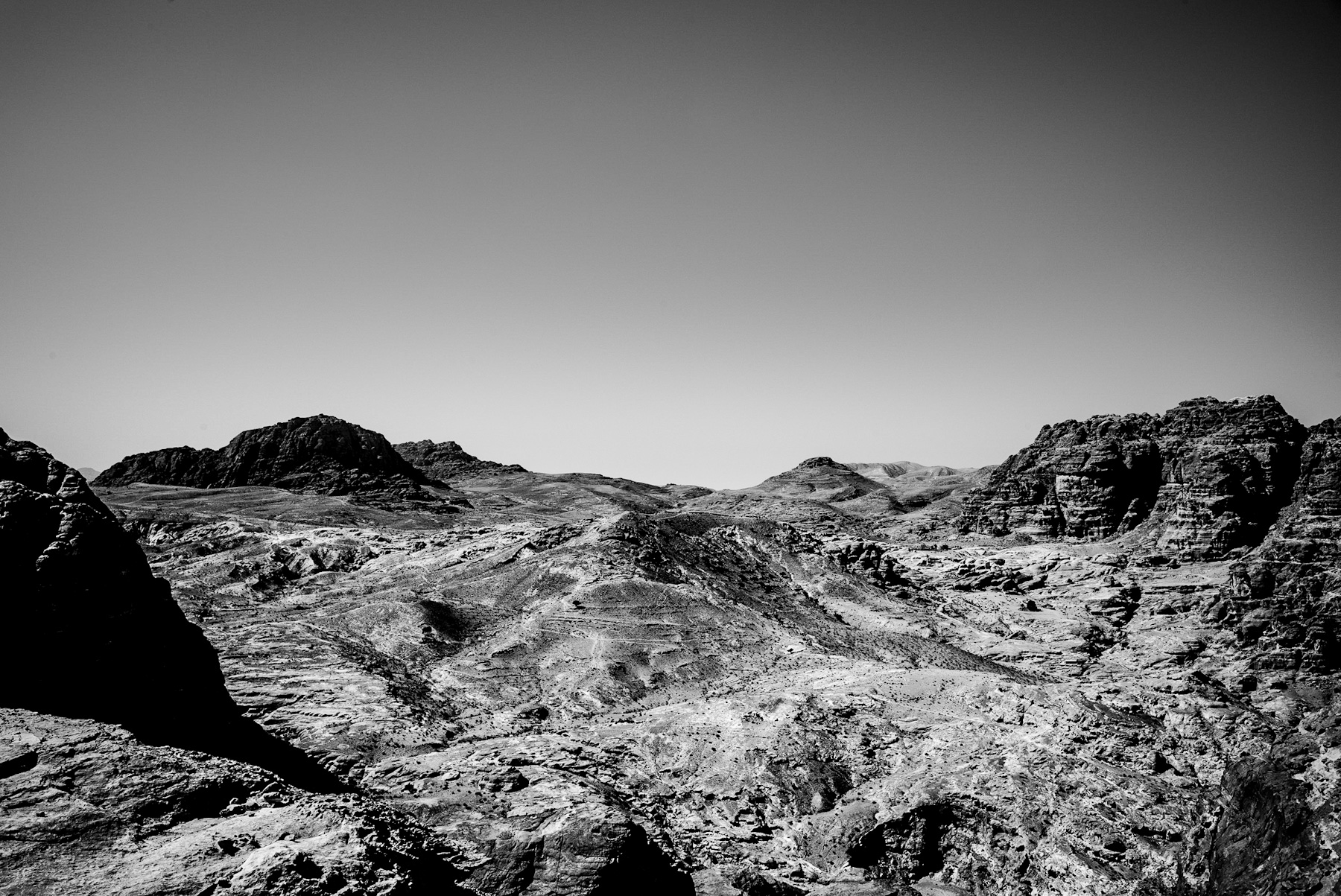
The presented black-and-white photograph captures a vast, arid landscape characterized by rugged, undulating mountains and deep valleys. The high-contrast image emphasizes the harsh textures of the sandstone formations under a clear, cloudless sky. This striking terrain is characteristic of the Shara Mountains in southwestern Jordan, a region renowned for its dramatic geology and deep historical significance.
Geological Foundations and Landscape Characteristics
The geological composition of this region is primarily composed of Cambrian and Ordovician sandstone. Over millions of years, wind and water erosion have carved deep gorges, known locally as wadis, and created steep, block-like mountain structures.
The black-and-white medium highlights the sedimentary layers of the rock, which vary in mineral content. This complex topography not only created a formidable natural barrier but also provided the raw material for ancient civilizations to carve monumental architecture directly into the cliff faces.
Historical Legacy: From Edomites to Nabataeans
This seemingly inhospitable landscape has been inhabited for millennia. In the Iron Age (circa 1200–539 BCE), the region was the heartland of the Kingdom of Edom. The Edomites utilized the mountainous terrain for defense, establishing fortified settlements on high plateaus that offered panoramic views of the surrounding valleys.
By the late 4th century BCE, the Nabataeans, a nomadic Arab tribe, gained control of the area. They adapted spectacularly to the arid environment, establishing their capital, Petra, hidden within these very mountains. The Nabataeans carved elaborate tombs, temples, and dwellings into the sandstone, seamlessly integrating their architecture with the natural landscape shown in the photograph.
Strategic Importance and Ancient Trade Routes
Despite the dry, barren conditions visible in the image, this region was once a crucial hub for ancient global commerce. It sat at the intersection of major trade routes, including the famous Incense Route, which transported frankincense and myrrh from Southern Arabia to the Mediterranean basin and Gaza.
The difficult terrain served as a natural fortress, protecting valuable trade caravans from bandits and rival empires. To survive and prosper in this hyper-arid zone, the Nabataeans developed sophisticated water-harvesting systems. They constructed dams, cisterns, and aqueducts that allowed them to control the scarce water supply, transforming a hostile desert into a thriving metropolis.
Conclusion: A Landscape of Resilience
The stark beauty captured in this photograph represents more than just a barren desert; it is a monument to human resilience and ingenuity. The rugged mountains of southern Jordan shaped the destinies of powerful ancient kingdoms. Today, this landscape remains a vital archaeological resource and a UNESCO World Heritage region, offering continuous insights into how ancient societies adapted to and transformed one of the earth’s most challenging environments.
Schreibe einen Kommentar