• Echoes of Stone: The Geological History and Resilience of Desert Landscapes

    Echoes of Stone: The Geological History and Resilience of Desert Landscapes

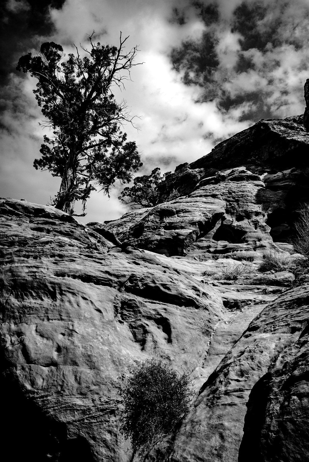
    Monochrome photography has a unique ability to strip away distractions, revealing the raw texture, form, and structural integrity of the natural world. The featured image captures a stark, high-contrast desert landscape, dominated by weathered sandstone formations, a dramatic sky, and a solitary, resilient tree clinging to the rocky edge. This visual narrative isn’t just a study in light and shadow; it’s a profound testament to millions of years of geological evolution and the enduring power of nature.
    The Visual Story: Contrast and Unyielding Texture
    In this captivating black and white photograph, we’re drawn in by a low-angle perspective that magnifies the sheer monumentality of the rock formations. The foreground and midground reveal deeply eroded, layered sandstone, its surface a canvas of pits, grooves, and fractures. These intricate textures whisper tales of centuries-long exposure to relentless wind, water, and drastic temperature shifts.
    Perched precariously on the upper-left ridge stands a weathered conifer – likely a tenacious juniper or pine perfectly adapted to arid environments. Its gnarled trunk and sparse foliage create a striking silhouette against a turbulent sky, alive with high-contrast cumulus clouds. This masterful composition weaves a powerful tension between the static permanence of ancient stone and the dynamic, fleeting nature of the sky and the tenacious flora.
    Deep Roots: The Ancient Origins of Sandstone Giants
    The majestic rock structures in the image are hallmarks of sedimentary formations found across arid regions, particularly the iconic American Southwest (think Utah, Nevada, and Arizona). These incredible formations typically trace their lineage back to the Mesozoic Era, specifically the Jurassic period – a staggering 150 to 200 million years ago.
    During that ancient era, vast, sweeping deserts dominated these landscapes. Over countless millennia, wind-blown sand dunes piled up in colossal layers. Through a process called lithification, immense pressure from overlying sediments combined with mineral-rich groundwater, cementing these sand grains together. This powerful transformation birthed the solid rock we now know, often famously referred to as Navajo Sandstone.
    Notice the distinct horizontal layering visible in the photograph? These are the fossilized cross-bedding patterns of those ancient dunes, perfectly preserving the direction of prehistoric winds – a geological compass pointing to the past.
    Nature’s Sculptors: The Relentless Dance of Erosion
    The breathtaking landscape we see today is a masterpiece sculpted by two powerful forces: tectonic uplift followed by relentless erosion. Millions of years after the sandstone solidified, dramatic tectonic activity gradually elevated the entire region, exposing these deep rock layers to the elements.
    Even in arid climates where water is scarce, it remains the primary sculptor. Rare but incredibly intense flash floods dramatically carve deep canyons and meticulously smooth rock surfaces. Simultaneously, a symphony of other forces plays its part: wind erosion, the silent power of frost wedging (where freezing water expands in cracks), and subtle chemical weathering all tirelessly work to break down the sandstone, meticulously creating the rugged, pitted surfaces so strikingly captured in this photograph.
    Life’s Tenacity: Survival in Extreme Environments
    The solitary tree, a beacon of life in this harsh terrain, beautifully illustrates the ecological triumph of survival in extreme environments. Trees thriving in these rocky landscapes, like the resilient Utah Juniper (*Juniperus osteosperma*), have evolved extraordinary adaptations to persist with minimal water.
    These incredible plants develop dual root systems: extensive, shallow networks that spread wide to expertly capture every drop of rainfall, alongside deep taproots designed to access precious moisture stored far within rock fractures. Their remarkably slow growth rates are key to their longevity, allowing them to endure for centuries – with some ancient specimens living for over a thousand years. Historically, indigenous populations revered and relied on these resilient trees for vital resources like fuel, medicine, and construction. They are, without doubt, integral components of both the natural and profound human history of these majestic regions.
  • Whispers of Stone: The Geological and Historical Legacy of Sandstone Alcoves

    Whispers of Stone: The Geological and Historical Legacy of Sandstone Alcoves

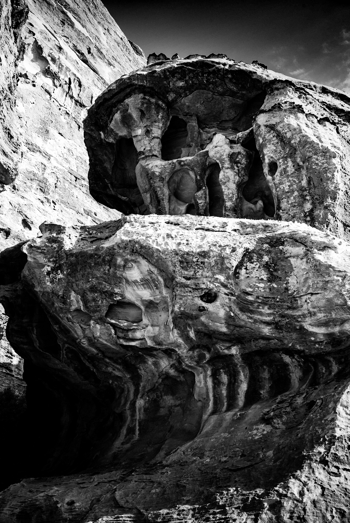
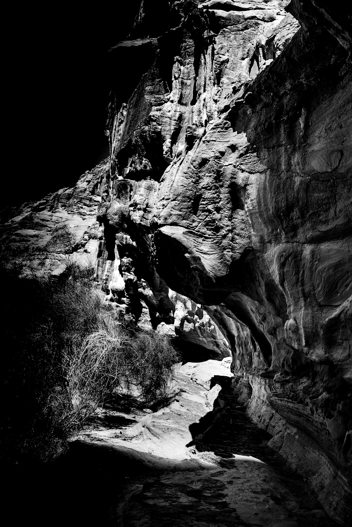
    The natural world offers few sights as visually striking as the weathered sandstone formations of the American Southwest. The high-contrast, black-and-white photograph captures a monumental rock structure defined by deep alcoves, hollowed-out chambers, and intricate textures. This dramatic display of light and shadow highlights the rugged, layered surface of sedimentary rock, serving as a visual testament to millions of years of environmental transformation.
    To fully appreciate this image, one must understand both the immense geological forces that shaped these structures and the historical human cultures that once sought refuge within them.
    The Geological Genesis of Sandstone Formations
    The dramatic rock formations featured in the photograph are characteristic of the Colorado Plateau, a region spanning parts of Utah, Arizona, Colorado, and New Mexico. The geological history of these structures began over 150 million years ago during the Mesozoic Era, when vast deserts of shifting sand dunes covered the landscape. Over epochs, these dunes were buried, compressed, and cemented into thick layers of sandstone, such as the famous Navajo and Entrada formations.
    The unique cavities and hollows visible in the image are the result of weathering and erosion. Water plays a crucial role in this process; acid rain slowly dissolves the calcium carbonate binding the sand grains together. Additionally, wind erosion and the expansion of freezing water in rock crevices gradually carve out deep alcoves. The smaller, pocket-like holes on the rock surface are known as tafoni, a form of honeycomb weathering caused by salt crystallization and wind action on weaker sections of the stone.
    The Historical Significance of Natural Rock Shelters
    Beyond their geological appeal, these natural sandstone alcoves hold profound historical and archaeological significance. For thousands of years, various indigenous cultures utilized these geological features for survival in the arid desert environment.
    Between 300 and 1300 AD, cultures such as the Fremont people and the Ancestral Puebloans inhabited the canyons of the Southwest. The deep, overhanging alcoves—similar to the ones depicted in the photograph—offered ideal sites for habitation and storage. These natural shelters provided crucial protection from the elements, shielding inhabitants from the intense summer sun and the freezing winter winds.
    Within these protective hollows, ancient peoples constructed sophisticated stone dwellings and granaries to store maize, beans, and squash. The dry microclimate inside the alcoves preserved these structures, along with perishable artifacts like baskets, sandals, and organic tools, providing modern archaeologists with invaluable insights into prehistoric life.
    The Power of Monochrome in Landscape Photography
    The decision to capture this geological wonder in black and white emphasizes form, texture, and contrast over color. Without the distracting vibrant reds and oranges typical of desert sandstone, the viewer’s focus is directed entirely to the physical geometry of the rock. The deep shadows inside the chambers contrast sharply with the sun-drenched exterior surfaces, emphasizing the depth of the alcoves and the ancient passage of time carved into the stone.
  • Echoes of the Desert: The Timeless Landscape and History of Wadi Rum

    Echoes of the Desert: The Timeless Landscape and History of Wadi Rum

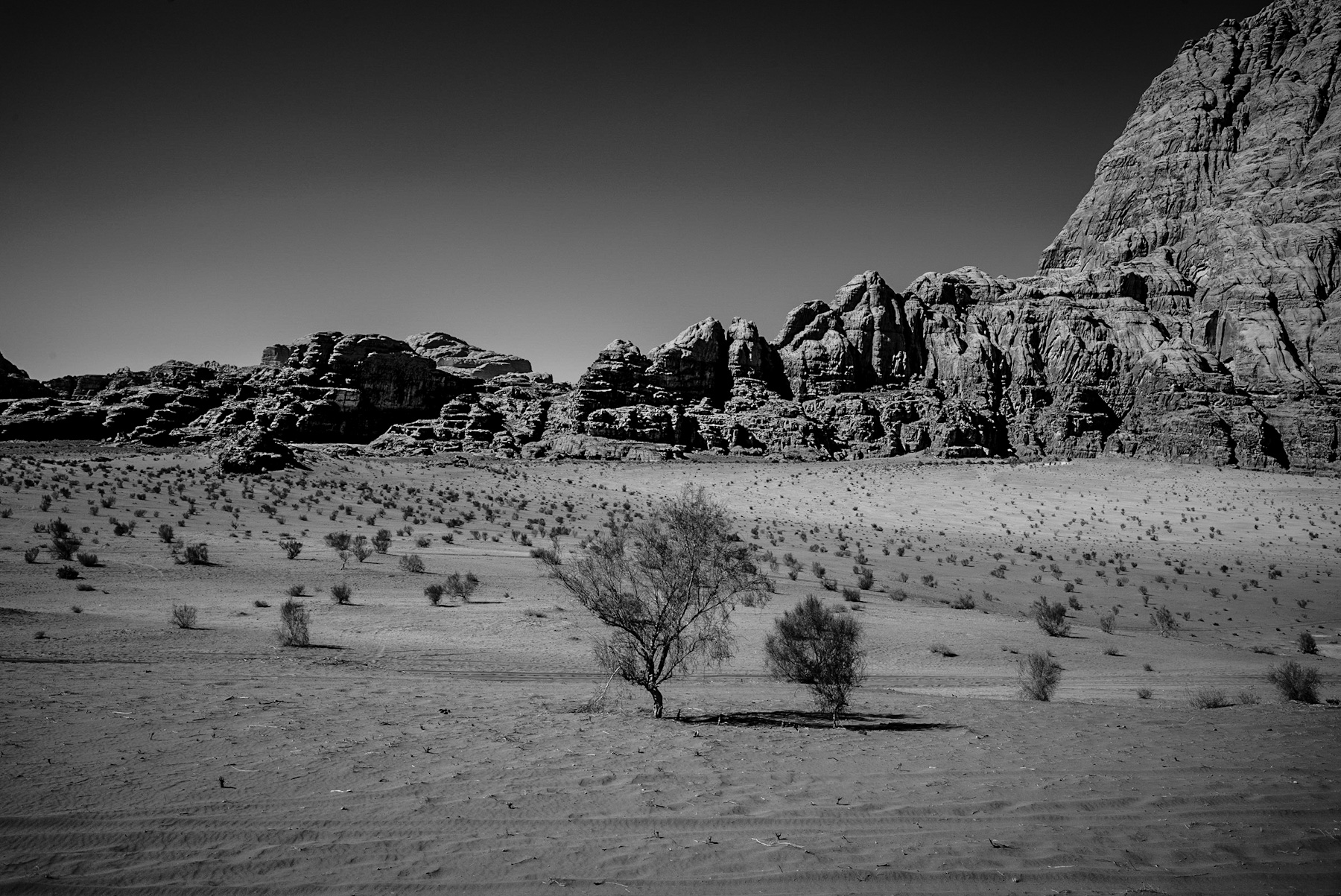
    The featured black-and-white photograph captures the stark, elemental beauty of a desert landscape dominated by massive, weathered rock formations. In the foreground, a sandy plain is dotted with sparse, resilient vegetation, including small desert shrubs and two solitary trees that cast long, distinct shadows under a clear sky. In the background, monumental sandstone cliffs rise abruptly from the desert floor, their heavily eroded surfaces revealing centuries of geological activity. This distinct landscape is highly characteristic of Wadi Rum, a famous valley cut into the sandstone and granite rock of southern Jordan.
    Geological Formation and Visual Analysis
    Wadi Rum, also known as the Valley of the Moon, is renowned for its dramatic topography. The photograph highlights the contrast between the soft desert sand and the rigid, towering cliffs. Over millions of years, wind and water erosion have shaped these sandstone mountains, creating deep canyons, natural arches, and towering domes. The monochrome format of the image emphasizes the intricate textures of the rock faces and the harsh, arid environment where only the most adaptable plant life can survive.
    Ancient Inhabitants and Cultural Heritage
    Beyond its natural beauty, Wadi Rum holds immense historical significance. Human occupation in this region dates back thousands of years to the prehistoric era. The area is rich in petroglyphs, inscriptions, and archaeological remains that document over 12,000 years of human habitation.
    – Nabataeans: During the Nabataean period (around the 4th century BC to the 1st century AD), Wadi Rum served as an important trade route. The Nabataeans left behind temple ruins and inscriptions carved into the rock walls, indicating their control over the region’s vital water sources. – Thamudic Inscriptions: Thousands of rock carvings in various ancient scripts, including Thamudic, can still be found throughout the valley, detailing ancient hunting trips, camel caravans, and tribal identities.
    T.E. Lawrence and the Arab Revolt
    In modern history, Wadi Rum is closely associated with Thomas Edward Lawrence, famously known as Lawrence of Arabia. During the Arab Revolt of 1916–1918, Arab forces allied with the British against the Ottoman Empire. Lawrence used Wadi Rum as a strategic base of operations. The dramatic landscape served as the backdrop for key military maneuvers. Lawrence’s autobiographical account, „Seven Pillars of Wisdom“, took its name from a prominent rock formation located within the valley, forever linking his legacy to this desert terrain.
    Modern Preservation and Bedouin Culture
    Today, Wadi Rum is a designated UNESCO World Heritage site, recognized for both its unique natural features and its rich cultural heritage. The region is inhabited by the Bedouin people, who have lived in the desert for generations. Historically nomadic pastoralists, many Bedouin now work in eco-tourism, guiding visitors through the protected area while preserving their traditional knowledge of the desert environment.
    This photograph serves as a visual testament to the enduring, timeless nature of Wadi Rum—a place where geology, ancient history, and human resilience intersect.
  • Echoes of the Past: Exploring the Rugged Sandstone Landscapes of Southern Jordan

    Echoes of the Past: Exploring the Rugged Sandstone Landscapes of Southern Jordan

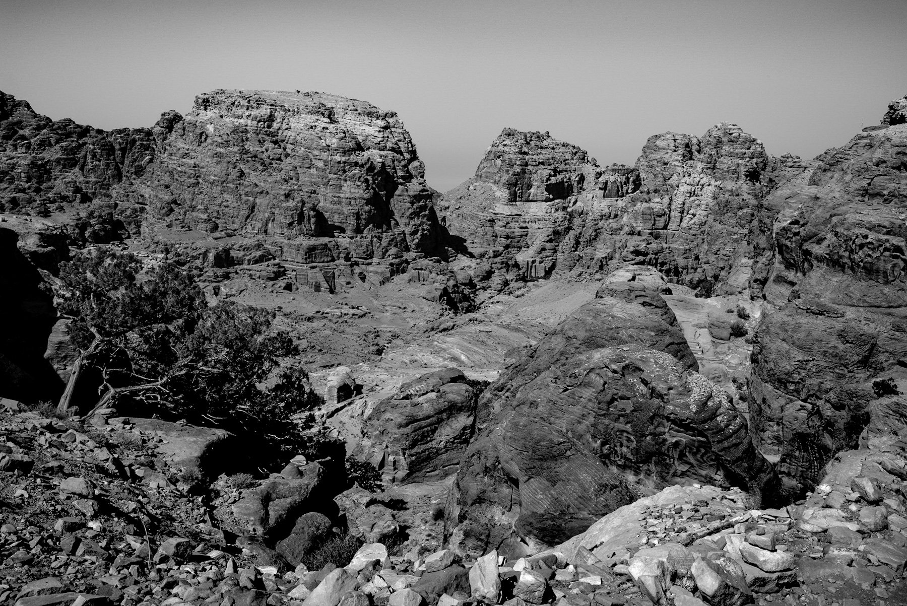
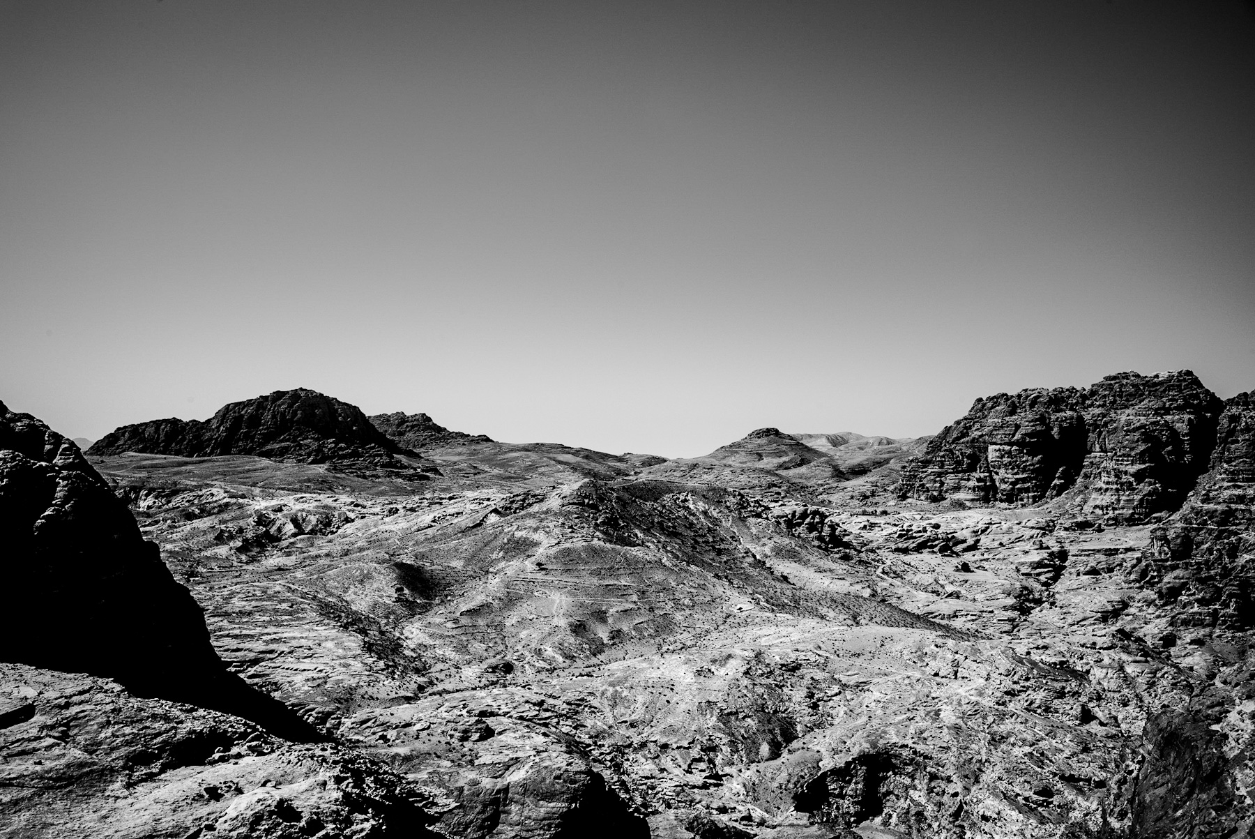
    The presented black-and-white photograph captures a vast, arid landscape characterized by rugged, undulating mountains and deep valleys. The high-contrast image emphasizes the harsh textures of the sandstone formations under a clear, cloudless sky. This striking terrain is characteristic of the Shara Mountains in southwestern Jordan, a region renowned for its dramatic geology and deep historical significance.
    Geological Foundations and Landscape Characteristics
    The geological composition of this region is primarily composed of Cambrian and Ordovician sandstone. Over millions of years, wind and water erosion have carved deep gorges, known locally as wadis, and created steep, block-like mountain structures.
    The black-and-white medium highlights the sedimentary layers of the rock, which vary in mineral content. This complex topography not only created a formidable natural barrier but also provided the raw material for ancient civilizations to carve monumental architecture directly into the cliff faces.
    Historical Legacy: From Edomites to Nabataeans
    This seemingly inhospitable landscape has been inhabited for millennia. In the Iron Age (circa 1200–539 BCE), the region was the heartland of the Kingdom of Edom. The Edomites utilized the mountainous terrain for defense, establishing fortified settlements on high plateaus that offered panoramic views of the surrounding valleys.
    By the late 4th century BCE, the Nabataeans, a nomadic Arab tribe, gained control of the area. They adapted spectacularly to the arid environment, establishing their capital, Petra, hidden within these very mountains. The Nabataeans carved elaborate tombs, temples, and dwellings into the sandstone, seamlessly integrating their architecture with the natural landscape shown in the photograph.
    Strategic Importance and Ancient Trade Routes
    Despite the dry, barren conditions visible in the image, this region was once a crucial hub for ancient global commerce. It sat at the intersection of major trade routes, including the famous Incense Route, which transported frankincense and myrrh from Southern Arabia to the Mediterranean basin and Gaza.
    The difficult terrain served as a natural fortress, protecting valuable trade caravans from bandits and rival empires. To survive and prosper in this hyper-arid zone, the Nabataeans developed sophisticated water-harvesting systems. They constructed dams, cisterns, and aqueducts that allowed them to control the scarce water supply, transforming a hostile desert into a thriving metropolis.
    Conclusion: A Landscape of Resilience
    The stark beauty captured in this photograph represents more than just a barren desert; it is a monument to human resilience and ingenuity. The rugged mountains of southern Jordan shaped the destinies of powerful ancient kingdoms. Today, this landscape remains a vital archaeological resource and a UNESCO World Heritage region, offering continuous insights into how ancient societies adapted to and transformed one of the earth’s most challenging environments.
  • Silent Stones: Exploring the Ancient Rock Formations and History of Petra’s Caves

    Silent Stones: Exploring the Ancient Rock Formations and History of Petra’s Caves

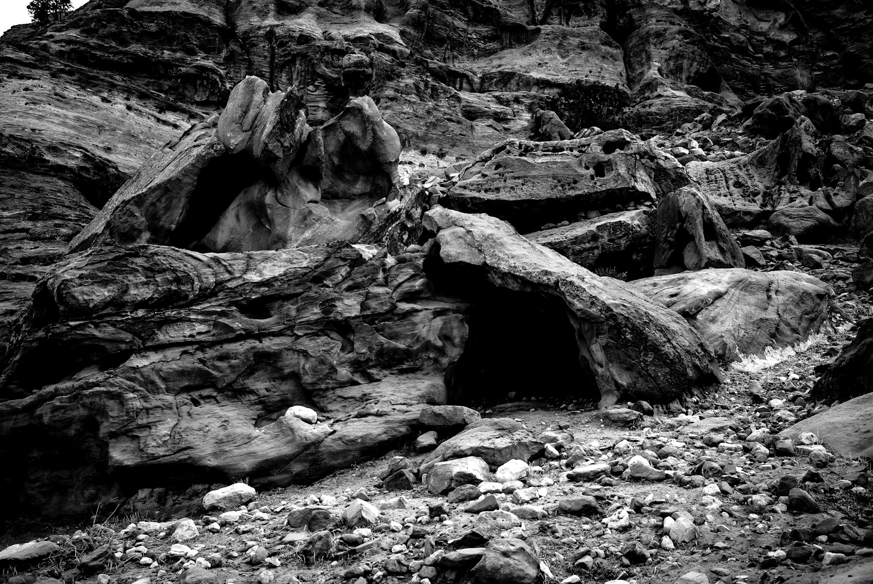
    The stark contrast of black and white photography brings a timeless quality to the rugged landscapes of the ancient world. In this captivating image, the raw texture of eroded sandstone formations takes center stage, revealing a dark, mysterious opening that whispers stories of past civilizations. This geological structure, characteristic of the mountainous regions of Jordan, particularly around the ancient city of Petra, serves as a powerful reminder of how nature and human history intertwine.
    Visual Analysis of the Rugged Sandstone Terrain
    The photograph captures a highly textured rock face composed of layered sandstone. Through the lens of monochrome photography, the dramatic play of light and shadow highlights the deep fissures, crevices, and weathered surfaces of the stone. In the foreground, a scattered field of loose rocks and gravel leads the eye toward a prominent, dark cave-like opening carved into the base of a massive boulder.
    This opening is not merely a product of natural erosion. While wind and water have spent millennia shaping the soft sandstone, the structural shape suggests human modification. Throughout history, such natural recesses were often expanded and utilized by ancient inhabitants for shelter, storage, or funerary purposes.
    The Historical Context of the Nabataean Kingdom
    To understand the significance of these rock formations, one must look to the history of the Nabataeans, an ancient nomadic Arab people who established their capital, Petra, in the rugged canyons of modern-day Jordan around the 4th century BCE. The Nabataeans were masters of water conservation and stone carving, famously chiseling grand temples, tombs, and dwellings directly into the rose-red sandstone cliffs.
    While the grand facades like the Treasury (Al-Khazneh) receive the most global attention, the surrounding valleys are filled with hundreds of simpler caves and rock-cut chambers similar to the one pictured. These lesser-known structures played a vital role in daily life. They served as temporary shelters for traders arriving via the lucrative incense routes, homes for the working class, and sacred burial sites. The integration of architecture into the natural topography allowed the Nabataeans to create a highly defensible and sustainable city hidden within the desert mountains.
    Geological Evolution and Preservation
    The unique appearance of the rock face in the image is the result of millions of years of geological activity. Sandstone is highly susceptible to wind and water erosion, which creates the smooth, flowing contours visible on the rock surfaces. Over centuries, this natural weathering process continues to alter the ancient carvings, slowly reclaiming human craftsmanship back into the natural landscape.
    Today, these sites are of immense archaeological value. As part of the Petra UNESCO World Heritage site, they offer researchers invaluable insights into ancient engineering, domestic life, and the environmental adaptation of past societies.
    Conclusion
    This monochrome depiction of ancient stone formations captures the enduring legacy of human ingenuity adapted to a harsh natural environment. By observing the rugged textures and silent voids of these rock-cut structures, we connect directly with the ancient Nabataeans who once looked upon these very same cliffs, transforming wild stone into a legendary empire.
  • Echoes of Antiquity: Analyzing the Historical Landscape of the Levant

    Echoes of Antiquity: Analyzing the Historical Landscape of the Levant

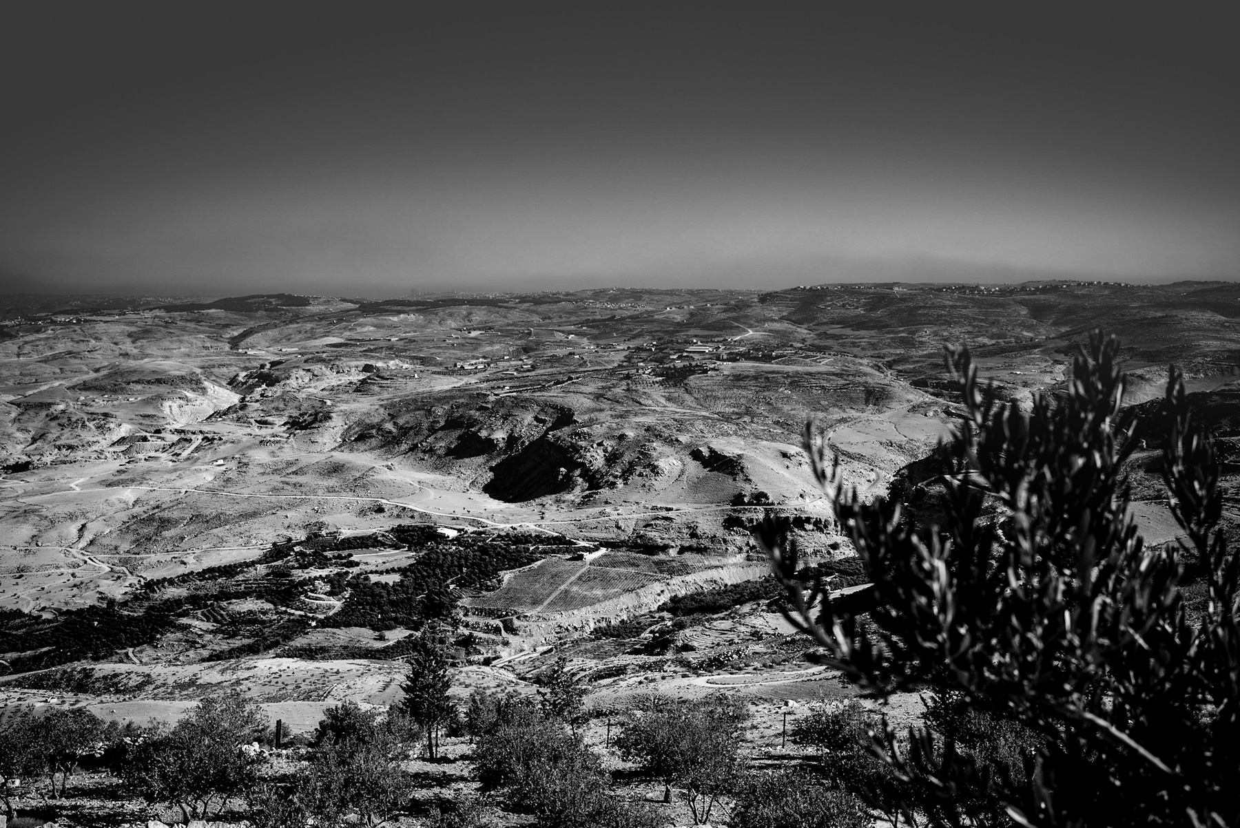
    The stark contrast of black and white photography often reveals the raw texture of a landscape, stripping away the distractions of color to expose the underlying geography and history. The featured image captures a vast, undulating terrain characteristic of the southern Levant—a region encompassing modern-day Jordan, Israel, Palestine, and the wider West Bank. This rugged topography is not merely a natural formation; it is a historical document written in stone, soil, and ancient pathways.
    A Visual Analysis of the Arid Highlands
    In the foreground of the photograph, the soft focus of olive branches frames a panoramic view of deep valleys and dry ridges. The landscape is characterized by sparse vegetation, rocky outcrops, and winding dirt tracks that trace the contours of the hills.
    In the mid-ground, distinct patterns of agricultural terracing are visible on the slopes. These terraces, along with clustered settlements visible on the distant ridges, indicate a long-standing human presence adapted to a challenging, semi-arid environment. The play of light and shadow emphasizes the deep ravines and the erosion patterns that have shaped this plateau over millennia.
    The Historical Crossroads of Civilizations
    The region depicted in the image has served as one of the most significant geographical corridors in human history. Situated at the crossroads of Africa, Asia, and Europe, these hills have witnessed the passage of nomadic tribes, merchants, and conquering empires for thousands of years.
    – Ancient Trade Routes: This terrain was traversed by major historical trade routes, including the ancient King’s Highway. This route facilitated the trade of valuable commodities such as frankincense, myrrh, and spices between Southern Arabia and the Mediterranean world. – Imperial Footprints: From the Egyptians and Canaanites to the Romans, Byzantines, and Ottomans, successive empires have sought control over these highlands. The winding paths visible in the landscape often follow the alignments of ancient Roman roads, which were constructed to secure military dominance and facilitate administrative control over the province of Judaea and Arabia Petraea.
    The Legacy of Ancient Agriculture and Olive Cultivation
    The presence of olive trees in the foreground and the terraced hillsides in the distance highlight the agricultural history of the Levant. Terracing is an ancient engineering technique developed during the Bronze Age to prevent soil erosion and conserve scarce rainwater on steep slopes.
    The olive tree (Olea europaea) has been cultivated in this region for over 6,000 years. It holds immense historical, economic, and cultural significance. In antiquity, olive oil was not only a dietary staple but also a primary source of fuel for lighting, a base for cosmetics, and a key export commodity that fueled the economies of ancient Mediterranean civilizations.
    A Timeless Topography
    Today, this landscape remains a powerful symbol of endurance. While modern infrastructure and settlements continue to expand along the ridges, the fundamental character of the terrain remains unchanged. The photograph captures the enduring relationship between humanity and a demanding environment, where every ridge and valley holds a layer of historical significance.
  • The Silent Witnesses of Time: The Geological and Historical Depth of River Pebbles

    The Silent Witnesses of Time: The Geological and Historical Depth of River Pebbles

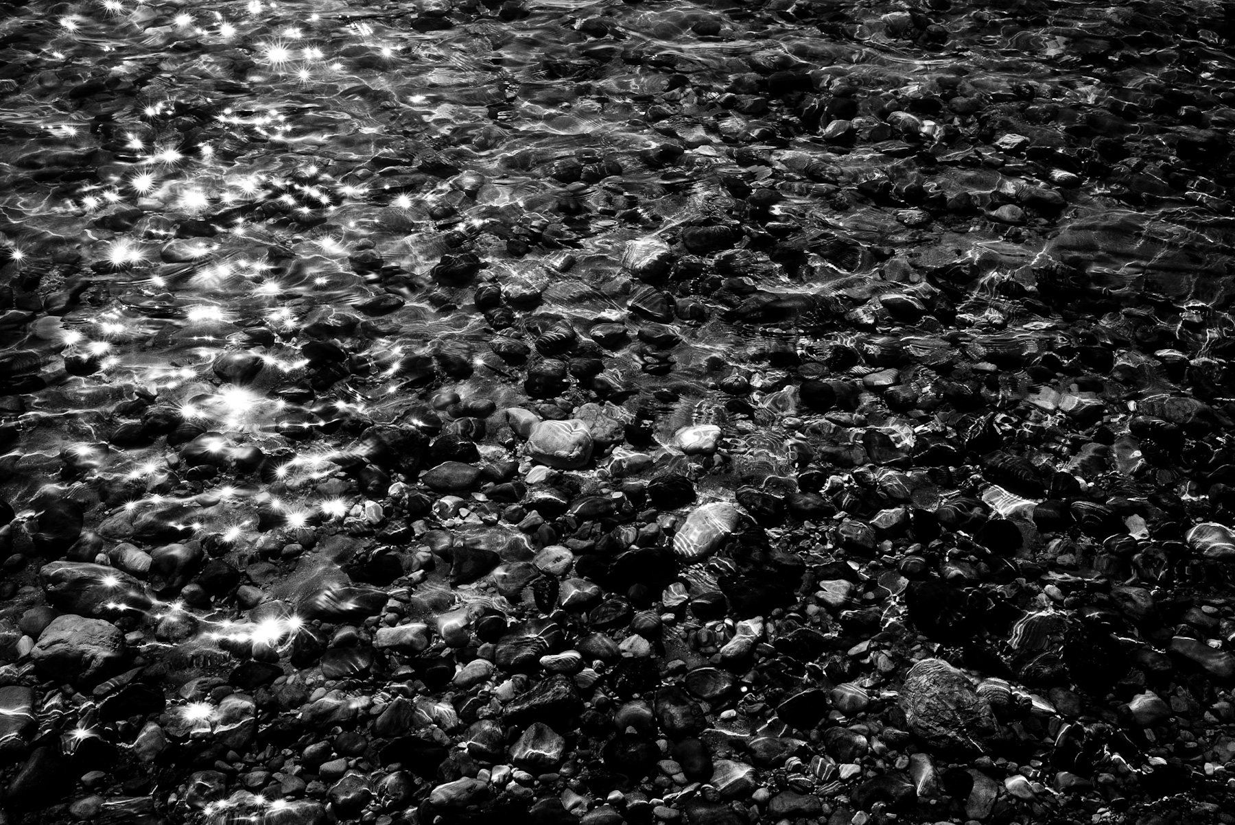
    The interplay of light, water, and stone has captivated observers for millennia. In this high-contrast black-and-white photograph, the surface of a shallow body of water ripples with brilliant, star-like reflections of sunlight. Beneath this shimmering surface lies a dense bed of smooth, rounded river stones. The absence of color emphasizes the textures, shapes, and elemental contrast between the fluid movement of the water and the solid permanence of the rocks.
    While visually striking as an abstract study of nature, this scene represents a complex geological history and a fundamental element of human development.
    The Science of Erosion and Geological Time
    Every rounded pebble visible in the image tells a story of immense time and physical forces. Originally, these stones were jagged fragments of bedrock, broken off by tectonic activity, frost weathering, or volcanic events. Through the process of fluvial erosion—the action of moving water—these fragments were transported downstream.
    Over thousands of years, the constant tumbling action in the river current caused the stones to collide with one another and the riverbed. This natural grinding process, known as attrition, gradually wore away the sharp edges, resulting in the smooth, oval shapes seen here. The varying shades of grey and patterns on the stones indicate different mineral compositions, likely ranging from quartz and basalt to sedimentary rocks, each resisting erosion at different rates.
    Rivers as the Cradle of Human History
    Beyond geology, riverbeds like the one photographed played a crucial role in human evolution and history. During the Paleolithic era (the Stone Age), access to river pebbles was vital for survival. Early hominids selected specific types of river stones to create the first tools.
    Smooth, heavy pebbles were used as hammerstones to flake flint, creating sharp edges for cutting and hunting. The abundance of accessible stone resources along ancient riverbanks is one of the primary reasons early human settlements flourished near water sources. Rivers provided not only hydration and food but also the raw materials needed for technological advancement.
    The Monochromatic Aesthetic in Photographic History
    From an artistic perspective, rendering this scene in black and white connects it to the rich history of landscape photography. Pioneers of the medium, such as Ansel Adams and the members of the f/64 Group in the early 20th century, championed sharp-focus photography that celebrated the raw textures of the natural world.
    By stripping away color, the photograph redirects the viewer’s focus to the essential elements: the geometry of the pebbles, the organic patterns of the water currents, and the dramatic play of light. The glittering „sun stars“ on the water’s surface contrast sharply with the dark, mysterious depths of the riverbed, creating a timeless visual narrative.
    Conclusion
    A simple glance at a stony riverbed reveals a landscape shaped by the patient hands of time, water, and gravity. These smooth stones are not merely debris; they are geological archives and historical catalysts that have supported human life since the dawn of civilization. Through the lens of monochrome photography, this quiet aquatic world is elevated from a common natural occurrence to a profound reflection on history and nature.
  • Echoes of Stone: Exploring the Rugged Landscape and History of Jordan’s Desert Canyons

    Echoes of Stone: Exploring the Rugged Landscape and History of Jordan’s Desert Canyons

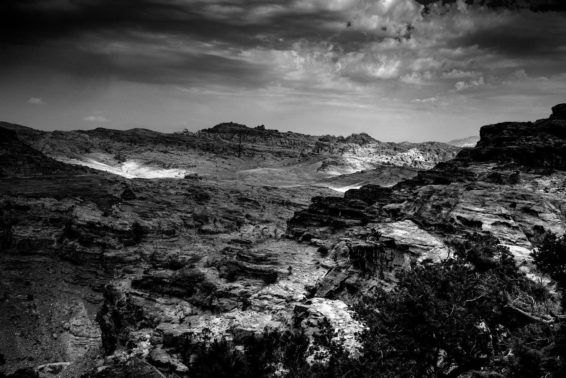
    The dramatic black and white photograph captures a vast, rugged landscape defined by deep canyons, layered rock formations, and a powerful play of light and shadow. Under a turbulent, cloud-filled sky, patches of sunlight illuminate the arid valley floor, contrasting sharply with the dark, weathered ridges in the foreground. Sparse, hardy vegetation clings to the rocky terrain, emphasizing the challenging environment of this ancient region. This striking topography is characteristic of the mountainous desert surrounding the ancient city of Petra in southwestern Jordan, a place where geological grandeur meets profound human history.
    The Geology of the Shara Mountains
    The landscape depicted in the image is part of the Shara (or Shera) mountain range. These formations consist primarily of Cambrian and Ordovician sandstone, which has been sculpted over millions of years by wind and water erosion. The resulting terrain is a labyrinth of deep gorges (known locally as siqs), high ridges, and flat-topped mesas. The lack of color in the photograph highlights the structural complexity of the rock strata, revealing the natural terraces and sediment layers that have witnessed millennia of environmental change.
    The Rise of the Nabataean Kingdom
    While this terrain appears inhospitable, it was once the heart of a thriving global trade empire. Around the 4th century BC, the Nabataeans, a nomadic Arab people, settled in this rugged region. They chose this fortress-like landscape precisely for its defensibility and strategic location.
    Nestled within these protective mountains, the Nabataeans established their capital, Petra (originally known as Raqmu). They successfully controlled the vital trade routes that crossed the region, linking the Arabian Peninsula with the Mediterranean, Egypt, and Syria. Caravans carrying precious goods, such as frankincense, myrrh, spices, and silk, had to navigate these precise mountain passes, paying tolls and taxes to the Nabataeans in exchange for protection and water.
    Conquering the Arid Environment
    The key to surviving and prospering in this hyper-arid landscape was water management. The Nabataeans were master hydrological engineers. Within the very canyons and cliffs shown in the image, they constructed a highly sophisticated system of dams, cisterns, channels, and aqueducts.
    These structures harvested and stored the scarce winter rainfall, preventing destructive flash floods while securing a reliable year-round water supply for a population that grew to tens of thousands. This engineering marvel transformed a barren desert canyon into a flourishing oasis.
    A Legacy Preserved in Stone
    Following Roman annexation in 106 AD and subsequent shifts in global trade routes, the region gradually declined in economic importance. By the late Byzantine era, many of the settlements within these mountains were abandoned, leaving the structures to be preserved by the dry desert climate.
    Today, this landscape is recognized globally as a UNESCO World Heritage site. The dramatic vistas, such as the one captured in this photograph, serve as a reminder of human ingenuity. The rugged cliffs did not act as a barrier to civilization, but rather as the foundation for one of the most remarkable empires of the ancient world.
  • Echoes of the Past: Exploring the Geological and Historical Heritage of Wadi Rum

    Echoes of the Past: Exploring the Geological and Historical Heritage of Wadi Rum

    The stark beauty of the desert is captured in this striking black-and-white photograph, revealing a vast valley framed by monumental sandstone cliffs. This rugged terrain depicts Wadi Rum, also known as the Valley of the Moon, located in southern Jordan. The monochrome perspective highlights the dramatic geological formations, the textured, rocky ground, and a faint path winding into the distance, hinting at centuries of human passage through this formidable landscape.
    The Geological Formation of Jordan’s Desert Giant
    The geological history of Wadi Rum spans millions of years. The towering cliffs visible in the image are composed of sandstone and granite, shaped by tectonic forces, wind, and water erosion. These natural processes have created a labyrinth of monolithic rockscapes, narrow canyons, and towering arches. In reality, these rocks display vibrant hues of red, ochre, and yellow, though the black-and-white depiction focuses the viewer’s attention on the sheer scale, structural complexity, and timeless nature of the formations.
    Ancient Civilizations and Historic Trade Routes
    Beyond its geological marvels, Wadi Rum holds a profound historical significance. For millennia, this valley served as a crucial corridor for nomadic tribes and trade caravans. As early as the prehistoric era, various cultures inhabited the region, leaving behind a wealth of petroglyphs, inscriptions, and archaeological remains.
    The Nabataeans, the ancient civilization famous for building the city of Petra, left a significant mark on Wadi Rum during the classical period. They utilized the valley’s natural springs and built temples, leaving inscriptions in Nabataean script carved directly into the rock faces. The ancient pathways, echoed by the trail in the photograph, were once busy routes for caravans carrying frankincense, myrrh, and spices across the Arabian Peninsula to the Mediterranean.
    The Legacy of the Arab Revolt and Lawrence of Arabia
    In modern history, Wadi Rum is inextricably linked with the events of the Arab Revolt (1916–1918). British officer T.E. Lawrence, widely known as Lawrence of Arabia, used the valley as a strategic base of operations. Alongside Arab leaders, Lawrence navigated these very canyons to coordinate guerrilla tactics against the Ottoman forces. The dramatic landscape served both as a natural fortress and a source of inspiration, which Lawrence later detailed in his famous autobiographical account, „Seven Pillars of Wisdom.“
    A Protected World Heritage Site
    Today, Wadi Rum is recognized as a UNESCO World Heritage site, protected for both its natural beauty and its cultural heritage. The path shown in the photograph represents not just a physical route through the desert, but a journey through time. From prehistoric hunters and Nabataean traders to the fighters of the Arab Revolt, the Valley of the Moon remains an enduring monument to human resilience and natural majesty.
  • Ein Gedi: The Miraculous Springs Breathing Life into the Judean Desert’s Ancient Soul

    Ein Gedi: The Miraculous Springs Breathing Life into the Judean Desert’s Ancient Soul

    Imagine a scene frozen in time: freshwater rushing dynamically through a rugged, rocky landscape. A swift stream cascades over dark, wet stones, creating patches of white foam. To the left, dense stalks of wild reeds, their delicate seed heads bending slightly, frame the water. On the right, massive, weathered limestone boulders rise sharply, showcasing the harsh, arid geology that surrounds this flowing water. This is a classic desert oasis, perfectly capturing the essence of the springs found in the Judean Desert, specifically within the Ein Gedi Nature Reserve near the Dead Sea.
    The Hydrological Miracle of the Judean Wilderness
    To truly grasp the enduring significance of Ein Gedi, we must first understand the unique hydrology of this remarkable region. The Judean Desert is a rain-shadow desert, notorious for its minimal annual rainfall. Yet, the towering Judean Hills to the west receive abundant winter rains. This precious water percolates deep into subterranean limestone aquifers, flowing silently eastward underground until it encounters impermeable rock layers near the Dead Sea rift valley. At geological faults along the canyon walls of valleys like Nahal David and Nahal Arugot, this hidden water miraculously emerges as perennial freshwater springs. The very stream we envision represents this vital geological phenomenon—a constant, life-giving source in an otherwise barren and hyper-arid environment.
    Historical and Biblical Significance
    For millennia, the reliable presence of freshwater in this remote region transformed it into a crucial hub for human survival, trade, and even spiritual refuge.
    Biblical Refuge In ancient texts, most notably the Hebrew Bible, Ein Gedi famously served as the wilderness sanctuary where David sought refuge from King Saul (1 Samuel 24). The „strongholds of Ein Gedi,“ hidden deep within the canyons, provided ideal hiding places, while the freshwater streams and wild vegetation offered essential sustenance. The dramatic contrast between the harsh desert cliffs and the lush, concealed streams served as a powerful metaphor in ancient literature, symbolizing protection and sustenance amidst adversity.
    Ancient Agriculture and the Balsam Industry Moving into the Greco-Roman and Byzantine periods, these vital springs were ingeniously engineered to support highly sophisticated irrigated agriculture. The region became world-renowned for cultivating rare perfumes and medicinal plants, most notably the legendary Judean Balsam (opobalsamum). This highly prized resin, valued more than its weight in gold, was a coveted export throughout the vast Roman Empire. The sophisticated aqueducts and terraced fields built by Jewish settlers of the Second Temple period relied entirely on the constant, unwavering flow of streams identical to the one pictured.
    Ecological Sanctuary in the Modern Era
    Today, the delicate ecosystem sustained by these precious streams remains critically important. The dense reeds and fresh water provide an indispensable habitat for a diverse array of fauna, including the majestic Nubian ibex and the agile rock hyrax—species that have graced these canyons since antiquity. The enduring visual of a monochrome image, stripping away color, powerfully highlights the timeless struggle and harmony between water and stone. It illustrates with stark clarity why these desert springs have persisted as a vital oasis of life and history for thousands of years, a testament to nature’s enduring power.